Forward Hous
Introduction
The photograph on this page of Forward Hous by Robin Webster as part of the Geograph project.
The Geograph project started in 2005 with the aim of publishing, organising and preserving representative images for every square kilometre of Great Britain, Ireland and the Isle of Man.

There are currently over 7.5m images from over 14,400 individuals and you can help contribute to the project by visiting https://www.geograph.org.uk
Forward Hous
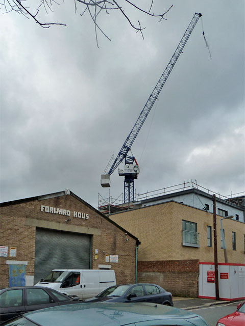
Image: © Robin Webster Taken: 15 Jan 2011
The presumption that an 'E' has dropped off may be incorrect - if so, the name would not be very well centred. It was a gusty day, as the crane hook beyond indicates.
Images are licensed for reuse under creativecommons.org/licenses/by-sa/2.0
Image Location
Latitude
51.564277
Longitude
-0.010309