Lady Byron Lane
Introduction
The photograph on this page of Lady Byron Lane by Robin Stott as part of the Geograph project.
The Geograph project started in 2005 with the aim of publishing, organising and preserving representative images for every square kilometre of Great Britain, Ireland and the Isle of Man.

There are currently over 7.5m images from over 14,400 individuals and you can help contribute to the project by visiting https://www.geograph.org.uk
Lady Byron Lane
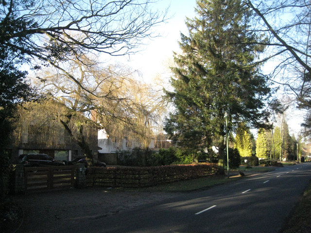
Image: © Robin Stott Taken: 9 Jan 2011
The southern end of Lady Byron Lane has large detached houses in all styles.
Images are licensed for reuse under creativecommons.org/licenses/by-sa/2.0
Image Location
Latitude
52.39347
Longitude
-1.756014