Path way
Introduction
The photograph on this page of Path way by J Scott as part of the Geograph project.
The Geograph project started in 2005 with the aim of publishing, organising and preserving representative images for every square kilometre of Great Britain, Ireland and the Isle of Man.

There are currently over 7.5m images from over 14,400 individuals and you can help contribute to the project by visiting https://www.geograph.org.uk
Path way
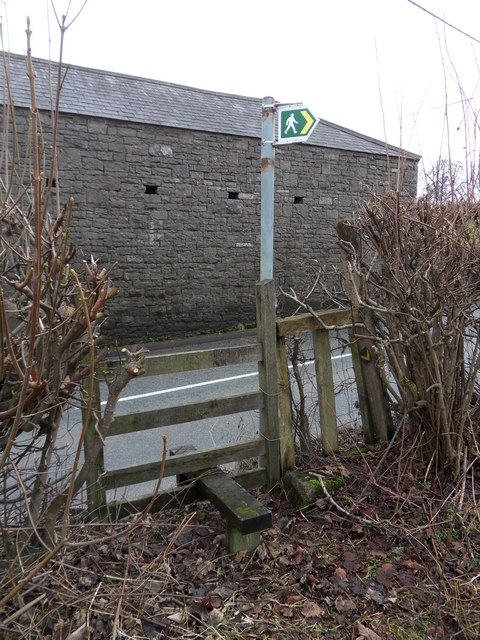
Image: © J Scott Taken: 13 Jan 2011
Footpath off the B5123 near Springfield Hotel, leading across fields to Pentre Halkyn.
Images are licensed for reuse under creativecommons.org/licenses/by-sa/2.0
Image Location
Latitude
53.242454
Longitude
-3.194096