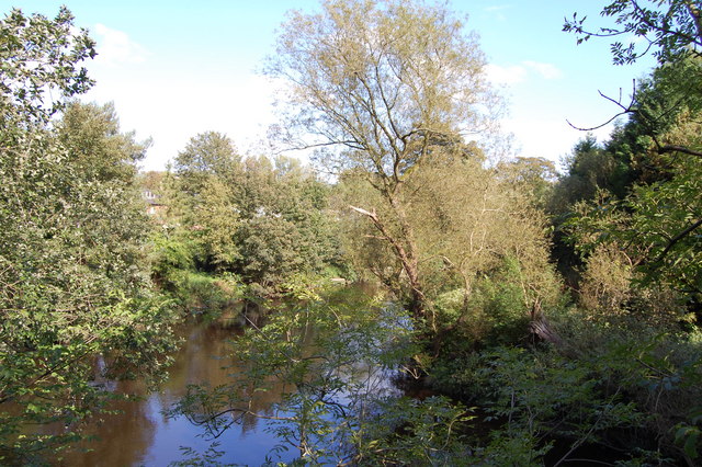
Bredbury and Romiley : River Goyt
Introduction
The photograph on this page of Bredbury and Romiley : River Goyt by Ken Bagnall as part of the Geograph project.
The Geograph project started in 2005 with the aim of publishing, organising and preserving representative images for every square kilometre of Great Britain, Ireland and the Isle of Man.
There are currently over 7.5m images from over 14,400 individuals and you can help contribute to the project by visiting https://www.geograph.org.uk

Image: © Ken Bagnall Taken: 9 Sep 2009
The River Goyt rises on the moors of Axe Edge, near the River Dane and the Cat and Fiddle Inn, in Derbyshire: the area is known as the Upper Goyt Valley. The old Cat and Fiddle Road from Buxton to Macclesfield crosses the river just as it turns northwards to flow down its well known valley. The river then flows under Derbyshire Bridge, which was the old boundary between Derbyshire and Cheshire. Later it reaches an old packhorse bridge which was moved when Errwood Reservoir was built in the 1960s. Further downstream there is another reservoir, Fernilee Reservoir. The original line of the Cromford and High Peak Railway can be seen near this point. The Goyt then passes through Taxal and Horwich End where it is joined by Todd Brook. Thereafter it passes through Whaley Bridge and New Mills, where it is joined by the River Sett and passes through a deep gorge, The Torrs. After Marple Bridge, the river is joined by the River Etherow at Compstall. The Goyt joins the River Tame at Stockport, forming the River Mersey.

