Unnamed Road
Introduction
The photograph on this page of Unnamed Road by terry joyce as part of the Geograph project.
The Geograph project started in 2005 with the aim of publishing, organising and preserving representative images for every square kilometre of Great Britain, Ireland and the Isle of Man.

There are currently over 7.5m images from over 14,400 individuals and you can help contribute to the project by visiting https://www.geograph.org.uk
Unnamed Road
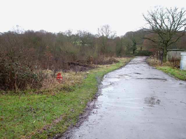
Image: © terry joyce Taken: 14 Jan 2011
This road is not shown on the map and leads to a few properties alongside the A127. It was possibly part of Rayleigh Downs Road before the A127 was built. It joins the Eastwood Old Road.
Images are licensed for reuse under creativecommons.org/licenses/by-sa/2.0
Image Location
Latitude
51.570369
Longitude
0.630263