View to Blackley
Introduction
The photograph on this page of View to Blackley by Stephen Craven as part of the Geograph project.
The Geograph project started in 2005 with the aim of publishing, organising and preserving representative images for every square kilometre of Great Britain, Ireland and the Isle of Man.

There are currently over 7.5m images from over 14,400 individuals and you can help contribute to the project by visiting https://www.geograph.org.uk
View to Blackley
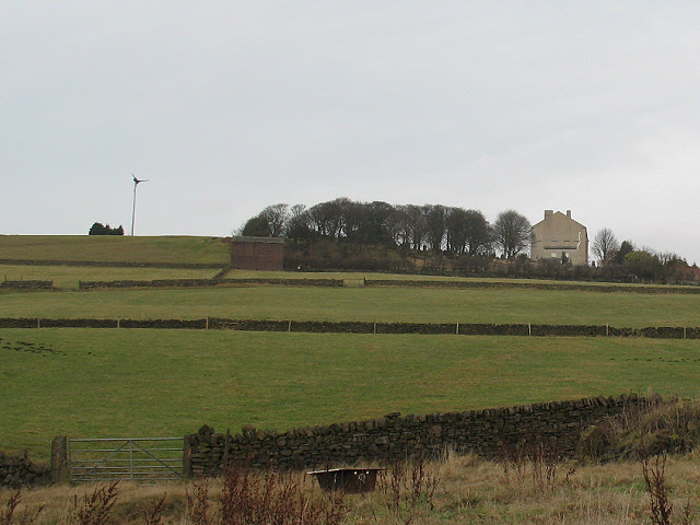
Image: © Stephen Craven Taken: 4 Jan 2011
A view looking up to Blackley from Hollins Hey Road. The fields in between were a landfill site in the 1980s and 1990s - see Image
Images are licensed for reuse under creativecommons.org/licenses/by-sa/2.0
Image Location
Latitude
53.675468
Longitude
-1.844952