Cotswold Way bus stops, Risca
Introduction
The photograph on this page of Cotswold Way bus stops, Risca by Jaggery as part of the Geograph project.
The Geograph project started in 2005 with the aim of publishing, organising and preserving representative images for every square kilometre of Great Britain, Ireland and the Isle of Man.

There are currently over 7.5m images from over 14,400 individuals and you can help contribute to the project by visiting https://www.geograph.org.uk
Cotswold Way bus stops, Risca
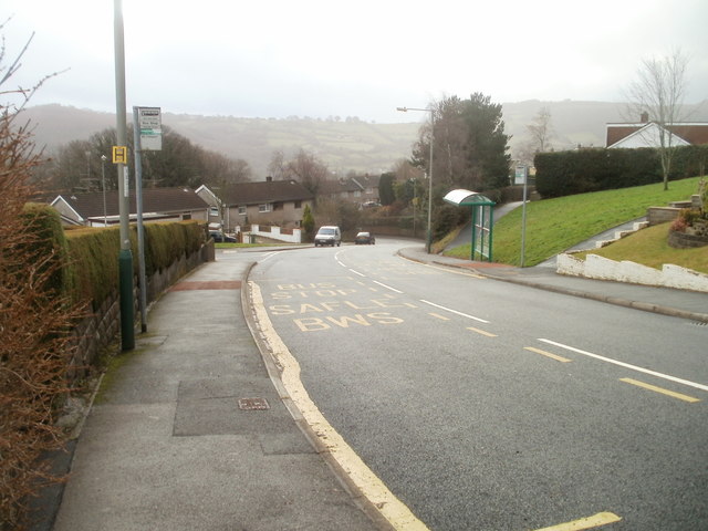
Image: © Jaggery Taken: 14 Jan 2011
One bus stop with a shelter, one without, on Cotswold Way between the turnings for Mendip Close and Chiltern Close.
Images are licensed for reuse under creativecommons.org/licenses/by-sa/2.0
Image Location
Latitude
51.605701
Longitude
-3.075715