Pentland Close, Risca
Introduction
The photograph on this page of Pentland Close, Risca by Jaggery as part of the Geograph project.
The Geograph project started in 2005 with the aim of publishing, organising and preserving representative images for every square kilometre of Great Britain, Ireland and the Isle of Man.

There are currently over 7.5m images from over 14,400 individuals and you can help contribute to the project by visiting https://www.geograph.org.uk
Pentland Close, Risca
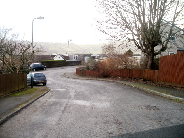
Image: © Jaggery Taken: 14 Jan 2011
Viewed from the corner of Cotswold Way. Because of the steepness of the land in this area, the houses on the south side of the close are set about two metres below road level.
Images are licensed for reuse under creativecommons.org/licenses/by-sa/2.0
Image Location
Latitude
51.6066
Longitude
-3.075736