Northern edge of Cotswold Way, Risca
Introduction
The photograph on this page of Northern edge of Cotswold Way, Risca by Jaggery as part of the Geograph project.
The Geograph project started in 2005 with the aim of publishing, organising and preserving representative images for every square kilometre of Great Britain, Ireland and the Isle of Man.

There are currently over 7.5m images from over 14,400 individuals and you can help contribute to the project by visiting https://www.geograph.org.uk
Northern edge of Cotswold Way, Risca
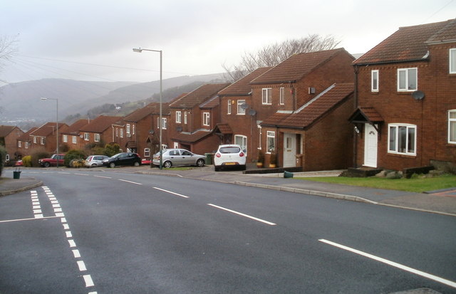
Image: © Jaggery Taken: 14 Jan 2011
The view west along Cotswold Way past the junction with Cheviot Close. Viewed from one of the highest points in residential Risca, at nearly 200 metres above sea level. The lowest residential elevations in Risca are about 40 metres above sea level, in the vicinity of the Ebbw River. Houses behind the camera are of a different type. http://www.geograph.org.uk/photo/2232147
Images are licensed for reuse under creativecommons.org/licenses/by-sa/2.0
Image Location
Latitude
51.608371
Longitude
-3.078666