Fallings Park Garden Suburb - Victoria Road
Introduction
The photograph on this page of Fallings Park Garden Suburb - Victoria Road by John M as part of the Geograph project.
The Geograph project started in 2005 with the aim of publishing, organising and preserving representative images for every square kilometre of Great Britain, Ireland and the Isle of Man.

There are currently over 7.5m images from over 14,400 individuals and you can help contribute to the project by visiting https://www.geograph.org.uk
Fallings Park Garden Suburb - Victoria Road
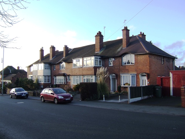
Image: © John M Taken: 14 Jan 2011
This may have been the face of council housing in the town. An exhibition of housing was held on the Fallings Park 'Triangle' in 1908 with small groups of houses built around courts.
Images are licensed for reuse under creativecommons.org/licenses/by-sa/2.0
Image Location
Latitude
52.601161
Longitude
-2.10582