Kissing gate near Great Everden Farm
Introduction
The photograph on this page of Kissing gate near Great Everden Farm by David Anstiss as part of the Geograph project.
The Geograph project started in 2005 with the aim of publishing, organising and preserving representative images for every square kilometre of Great Britain, Ireland and the Isle of Man.

There are currently over 7.5m images from over 14,400 individuals and you can help contribute to the project by visiting https://www.geograph.org.uk
Kissing gate near Great Everden Farm
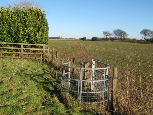
Image: © David Anstiss Taken: 9 Jan 2011
A footpath leads from Fernfield Lane to (and around) the farm, then through the kissing gate and another field towards a lane junction east of the farm. Lockeringe Wood is seen in the background on the right. Path and gate do not quite match online OS map, due to being diverted around the farm.
Images are licensed for reuse under creativecommons.org/licenses/by-sa/2.0
Image Location
Latitude
51.13313
Longitude
1.192024