Tannachy
Introduction
The photograph on this page of Tannachy by Anne Burgess as part of the Geograph project.
The Geograph project started in 2005 with the aim of publishing, organising and preserving representative images for every square kilometre of Great Britain, Ireland and the Isle of Man.

There are currently over 7.5m images from over 14,400 individuals and you can help contribute to the project by visiting https://www.geograph.org.uk
Tannachy
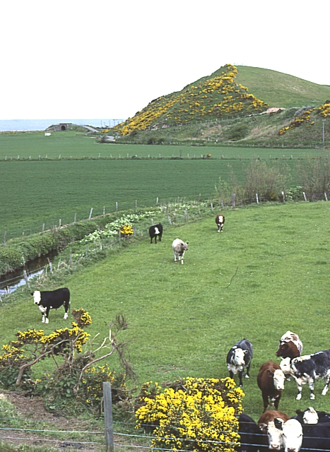
Image: © Anne Burgess Taken: 21 May 1983
The small hill is possibly a relic of the raised beach which can be traced round much of the coast of Scotland, marking an earlier and higher sea level. Image] shows the view from its summit.
Images are licensed for reuse under creativecommons.org/licenses/by-sa/2.0
Image Location
Latitude
57.658962
Longitude
-3.033998