2011 : A367 passing Ashwick
Introduction
The photograph on this page of 2011 : A367 passing Ashwick by Maurice Pullin as part of the Geograph project.
The Geograph project started in 2005 with the aim of publishing, organising and preserving representative images for every square kilometre of Great Britain, Ireland and the Isle of Man.

There are currently over 7.5m images from over 14,400 individuals and you can help contribute to the project by visiting https://www.geograph.org.uk
2011 : A367 passing Ashwick
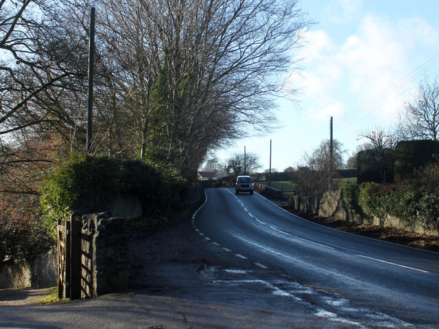
Image: © Maurice Pullin Taken: 9 Jan 2011
Heading south west half a mile from Oakhill. Near the top of the hill climbing out of Nettlebridge. Harridge Farm peeps over the hill.
Images are licensed for reuse under creativecommons.org/licenses/by-sa/2.0
Image Location
Latitude
51.227979
Longitude
-2.516369