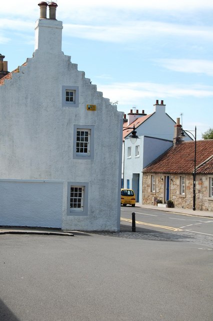
Pittenweem : High Street
Introduction
The photograph on this page of Pittenweem : High Street by Ken Bagnall as part of the Geograph project.
The Geograph project started in 2005 with the aim of publishing, organising and preserving representative images for every square kilometre of Great Britain, Ireland and the Isle of Man.
There are currently over 7.5m images from over 14,400 individuals and you can help contribute to the project by visiting https://www.geograph.org.uk

Image: © Ken Bagnall Taken: 21 Jun 2009
Until 1975 Pittenweem was a royal burgh, being awarded the status by King James V in 1541. Founded as a fishing village around a probably early Christian religious settlement, it grew along the shoreline from the west where the sheltered beaches provided safe places for fishermen to draw their boats up out of the water. In due course a breakwater was built, extending out from one of the rocky skerries that jut out south west into the Firth of Forth like fingers. This allowed boats to rest at anchor rather than being beached, providing a means for larger vessels to use the port. A new breakwater further to the east has been developed over the years into a deep, safe harbour with a covered fish market. As the herring disappeared from local waters and the fishing fleet shrank, this harbour and attendant facilities led Pittenweem to become the main harbour for the fishermen of the East Neuk of Fife.

