Houses at the western end of Aylestone Hill, Hereford
Introduction
The photograph on this page of Houses at the western end of Aylestone Hill, Hereford by Jaggery as part of the Geograph project.
The Geograph project started in 2005 with the aim of publishing, organising and preserving representative images for every square kilometre of Great Britain, Ireland and the Isle of Man.

There are currently over 7.5m images from over 14,400 individuals and you can help contribute to the project by visiting https://www.geograph.org.uk
Houses at the western end of Aylestone Hill, Hereford
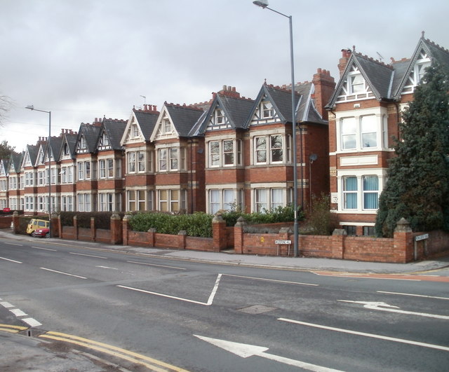
Image: © Jaggery Taken: 13 Jan 2011
The houses extended from the corner of Penn Grove Road on the right, to near the corner of Barrs Court Road on the left.
Images are licensed for reuse under creativecommons.org/licenses/by-sa/2.0
Image Location
Latitude
52.059862
Longitude
-2.7059