Start of pathway to Goldney Lane, Clifton Wood
Introduction
The photograph on this page of Start of pathway to Goldney Lane, Clifton Wood by Anthony O'Neil as part of the Geograph project.
The Geograph project started in 2005 with the aim of publishing, organising and preserving representative images for every square kilometre of Great Britain, Ireland and the Isle of Man.

There are currently over 7.5m images from over 14,400 individuals and you can help contribute to the project by visiting https://www.geograph.org.uk
Start of pathway to Goldney Lane, Clifton Wood
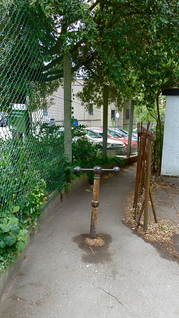
Image: © Anthony O'Neil Taken: 12 Jul 2010
Close to the exit of the nearby cemetery, it leads steeply downhill to Hotwells and Bristol Harbour. It is the most direct pedestrian route to the Harbour from the centre of Clifton via Victoria Square. The buildings at the left are part of Bristol University.
Images are licensed for reuse under creativecommons.org/licenses/by-sa/2.0
Image Location
Latitude
51.452562
Longitude
-2.615898