Reilly Road
Introduction
The photograph on this page of Reilly Road by wfmillar as part of the Geograph project.
The Geograph project started in 2005 with the aim of publishing, organising and preserving representative images for every square kilometre of Great Britain, Ireland and the Isle of Man.

There are currently over 7.5m images from over 14,400 individuals and you can help contribute to the project by visiting https://www.geograph.org.uk
Reilly Road
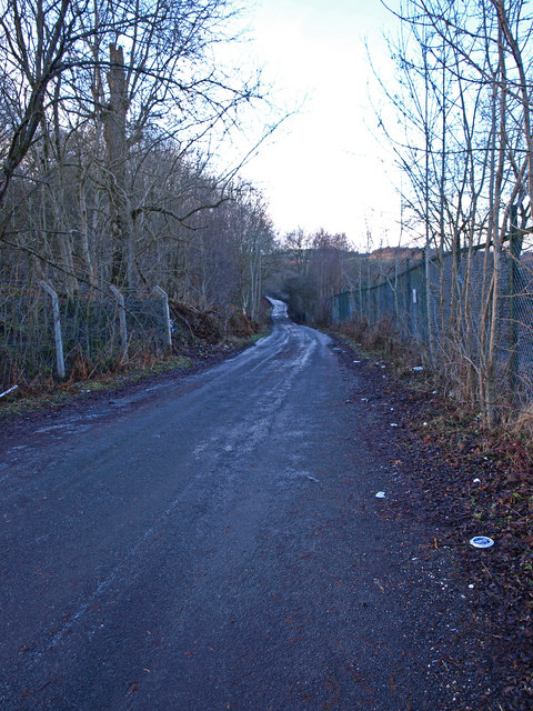
Image: © wfmillar Taken: 11 Jan 2011
The fence to the right is the boundary of the former munitions factory ROF Bishopton. The fence on the left is the boundary of the Reilly Quarry now a landfill site.
Images are licensed for reuse under creativecommons.org/licenses/by-sa/2.0
Image Location
Latitude
55.892615
Longitude
-4.5288