Great Common Field
Introduction
The photograph on this page of Great Common Field by Simon Carey as part of the Geograph project.
The Geograph project started in 2005 with the aim of publishing, organising and preserving representative images for every square kilometre of Great Britain, Ireland and the Isle of Man.

There are currently over 7.5m images from over 14,400 individuals and you can help contribute to the project by visiting https://www.geograph.org.uk
Great Common Field
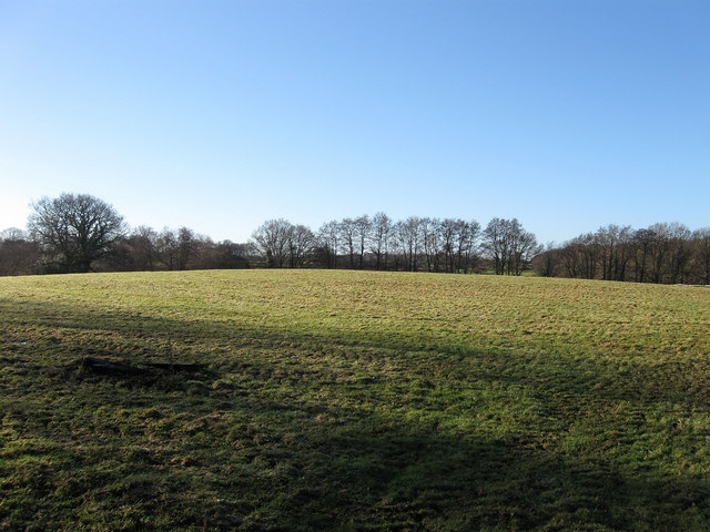
Image: © Simon Carey Taken: 9 Jan 2011
The name of the field according to the 1838 tithe map that lies next to and still has access to the adjacent Romany Ridge Common. Many of the neighbouring farms still have rights of pasture, estovers (Collection of wood) and turbary (Collection of turf for fuel) on the common.
Images are licensed for reuse under creativecommons.org/licenses/by-sa/2.0
Image Location
Latitude
50.97086
Longitude
-0.04945