Field behind Newbold Way, Kinoulton
Introduction
The photograph on this page of Field behind Newbold Way, Kinoulton by Alan Murray-Rust as part of the Geograph project.
The Geograph project started in 2005 with the aim of publishing, organising and preserving representative images for every square kilometre of Great Britain, Ireland and the Isle of Man.

There are currently over 7.5m images from over 14,400 individuals and you can help contribute to the project by visiting https://www.geograph.org.uk
Field behind Newbold Way, Kinoulton
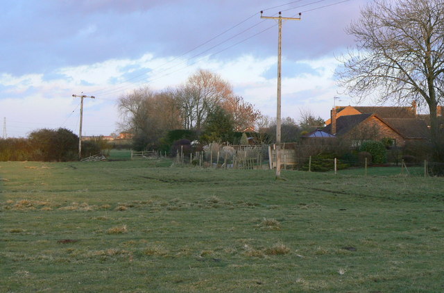
Image: © Alan Murray-Rust Taken: 9 Jan 2011
The ridge and furrow pattern shows that this was part of the mediaeval field system, which has been cut into by the modern housing development.
Images are licensed for reuse under creativecommons.org/licenses/by-sa/2.0
Image Location
Latitude
52.871774
Longitude
-0.995502