Plantation near Owthorpe
Introduction
The photograph on this page of Plantation near Owthorpe by Alan Murray-Rust as part of the Geograph project.
The Geograph project started in 2005 with the aim of publishing, organising and preserving representative images for every square kilometre of Great Britain, Ireland and the Isle of Man.

There are currently over 7.5m images from over 14,400 individuals and you can help contribute to the project by visiting https://www.geograph.org.uk
Plantation near Owthorpe
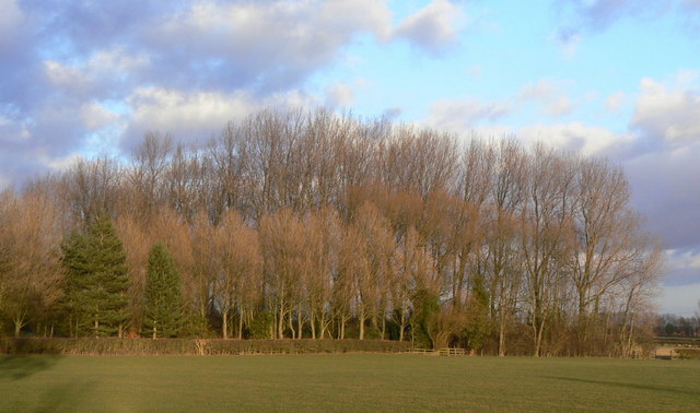
Image: © Alan Murray-Rust Taken: 9 Jan 2011
These trees surround a series of ponds which appear to be a private fishing area.
Images are licensed for reuse under creativecommons.org/licenses/by-sa/2.0
Image Location
Latitude
52.886678
Longitude
-1.003927