Herrywell Lane
Introduction
The photograph on this page of Herrywell Lane by Alan Murray-Rust as part of the Geograph project.
The Geograph project started in 2005 with the aim of publishing, organising and preserving representative images for every square kilometre of Great Britain, Ireland and the Isle of Man.

There are currently over 7.5m images from over 14,400 individuals and you can help contribute to the project by visiting https://www.geograph.org.uk
Herrywell Lane
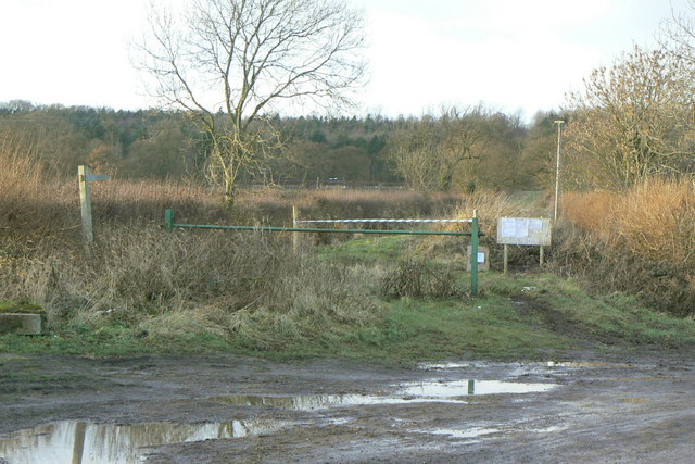
Image: © Alan Murray-Rust Taken: 9 Jan 2011
The eastern end of a long byway which ends up near Cotgrave. Currently partly closed as a right of way due to the reconstruction of the A46 which runs at the back of the woodland.
Images are licensed for reuse under creativecommons.org/licenses/by-sa/2.0
Image Location
Latitude
52.887519
Longitude
-1.007772