Franks
Introduction
The photograph on this page of Franks by Ian Capper as part of the Geograph project.
The Geograph project started in 2005 with the aim of publishing, organising and preserving representative images for every square kilometre of Great Britain, Ireland and the Isle of Man.

There are currently over 7.5m images from over 14,400 individuals and you can help contribute to the project by visiting https://www.geograph.org.uk
Franks
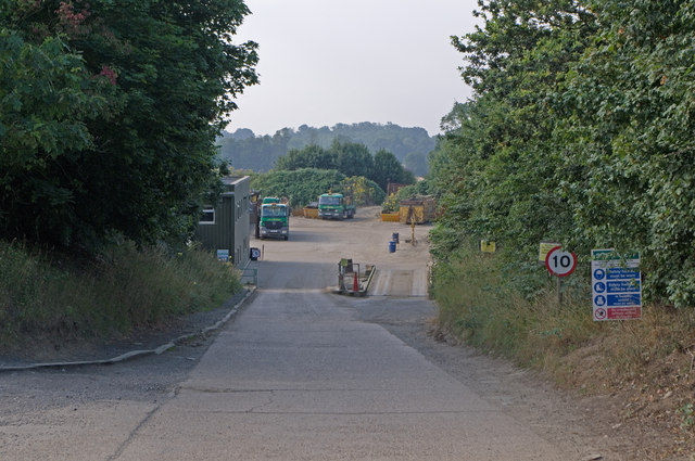
Image: © Ian Capper Taken: 24 Jul 2010
Originally a haulage firm founded in 1942, the company subsequently moved into sand quarrying at this site, before expanding into landfill/skip hire/recycling and other similar roles.
Images are licensed for reuse under creativecommons.org/licenses/by-sa/2.0
Image Location
Latitude
51.240988
Longitude
-0.278203