Twm Barlwm, St Bride's Wentlooge
Introduction
The photograph on this page of Twm Barlwm, St Bride's Wentlooge by Jaggery as part of the Geograph project.
The Geograph project started in 2005 with the aim of publishing, organising and preserving representative images for every square kilometre of Great Britain, Ireland and the Isle of Man.

There are currently over 7.5m images from over 14,400 individuals and you can help contribute to the project by visiting https://www.geograph.org.uk
Twm Barlwm, St Bride's Wentlooge
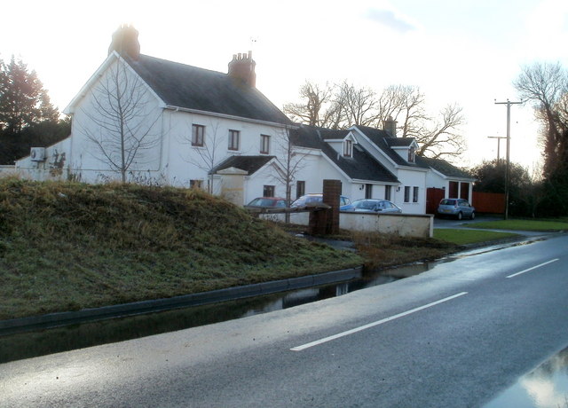
Image: © Jaggery Taken: 8 Jan 2011
House on the south side of the B4239. The house name is that of the prominent peak Image to the north, visible from much of south Monmouthshire.
Images are licensed for reuse under creativecommons.org/licenses/by-sa/2.0
Image Location
Latitude
51.526016
Longitude
-3.037798