Daventry Footpath
Introduction
The photograph on this page of Daventry Footpath by Ian Rob as part of the Geograph project.
The Geograph project started in 2005 with the aim of publishing, organising and preserving representative images for every square kilometre of Great Britain, Ireland and the Isle of Man.

There are currently over 7.5m images from over 14,400 individuals and you can help contribute to the project by visiting https://www.geograph.org.uk
Daventry Footpath
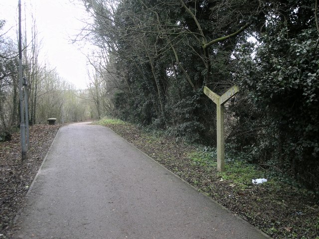
Image: © Ian Rob Taken: 11 Jan 2011
Following the course of the dismantled Leamington to Weedon Line. A gradient marker remains in place.http://www.geograph.org.uk/photo/2228172
Images are licensed for reuse under creativecommons.org/licenses/by-sa/2.0
Image Location


Leaflet Map data © OpenStreetMap
Latitude
52.263067
Longitude
-1.158915