Social club at Credenhill
Introduction
The photograph on this page of Social club at Credenhill by Philip Halling as part of the Geograph project.
The Geograph project started in 2005 with the aim of publishing, organising and preserving representative images for every square kilometre of Great Britain, Ireland and the Isle of Man.

There are currently over 7.5m images from over 14,400 individuals and you can help contribute to the project by visiting https://www.geograph.org.uk
Social club at Credenhill
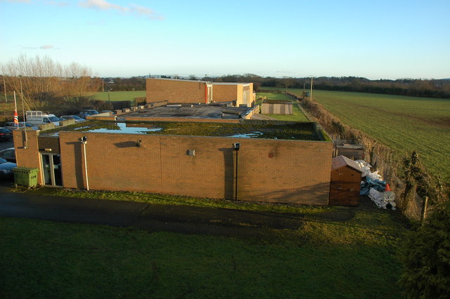
Image: © Philip Halling Taken: 9 Jan 2011
The focus of this picture taken from the old railway bridge was to be the course of the former Hereford to Brecon railway though there is little evidence now with a social club built on the former track bed.
Images are licensed for reuse under creativecommons.org/licenses/by-sa/2.0
Image Location
Latitude
52.081219
Longitude
-2.810138