Kinoulton Joint Use Play Area
Introduction
The photograph on this page of Kinoulton Joint Use Play Area by Alan Murray-Rust as part of the Geograph project.
The Geograph project started in 2005 with the aim of publishing, organising and preserving representative images for every square kilometre of Great Britain, Ireland and the Isle of Man.

There are currently over 7.5m images from over 14,400 individuals and you can help contribute to the project by visiting https://www.geograph.org.uk
Kinoulton Joint Use Play Area
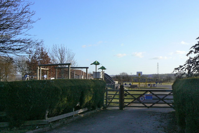
Image: © Alan Murray-Rust Taken: 9 Jan 2011
Provided in partnership by the Parish Council, the Primary School and the County Council for use by children outside school hours. It is also the school playground during school hours.
Images are licensed for reuse under creativecommons.org/licenses/by-sa/2.0
Image Location
Latitude
52.867965
Longitude
-1.002275