Acton
Introduction
The photograph on this page of Acton by David Stowell as part of the Geograph project.
The Geograph project started in 2005 with the aim of publishing, organising and preserving representative images for every square kilometre of Great Britain, Ireland and the Isle of Man.

There are currently over 7.5m images from over 14,400 individuals and you can help contribute to the project by visiting https://www.geograph.org.uk
Acton
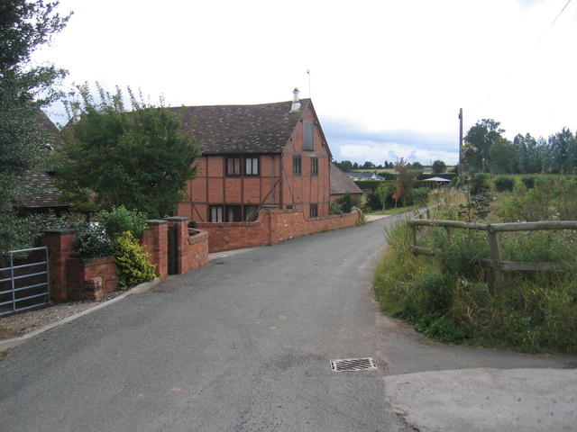
Image: © David Stowell Taken: 20 Aug 2006
Looking along the lane through the village past Acton Farm with a barn conversion on the left and beyond that a mobile home park.
Images are licensed for reuse under creativecommons.org/licenses/by-sa/2.0
Image Location
Latitude
52.304491
Longitude
-2.231675