Tillery Lane
Introduction
The photograph on this page of Tillery Lane by David Anstiss as part of the Geograph project.
The Geograph project started in 2005 with the aim of publishing, organising and preserving representative images for every square kilometre of Great Britain, Ireland and the Isle of Man.

There are currently over 7.5m images from over 14,400 individuals and you can help contribute to the project by visiting https://www.geograph.org.uk
Tillery Lane
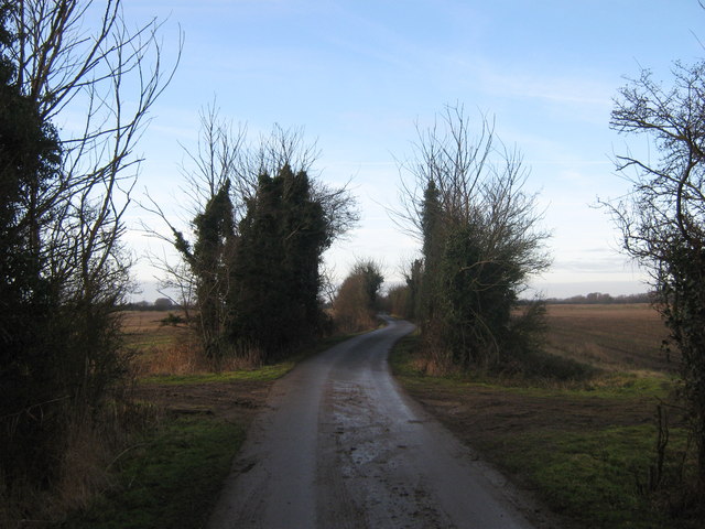
Image: © David Anstiss Taken: 2 Jan 2011
This lane (not suitable for motor vehicles) leads from Rhee Wall. See Image It leads towards Barnland Farm, via large fields.
Images are licensed for reuse under creativecommons.org/licenses/by-sa/2.0
Image Location


Leaflet Map data © OpenStreetMap
Latitude
50.999642
Longitude
0.862542