Bongate Mill
Introduction
The photograph on this page of Bongate Mill by Jim Woodward-Nutt as part of the Geograph project.
The Geograph project started in 2005 with the aim of publishing, organising and preserving representative images for every square kilometre of Great Britain, Ireland and the Isle of Man.

There are currently over 7.5m images from over 14,400 individuals and you can help contribute to the project by visiting https://www.geograph.org.uk
Bongate Mill
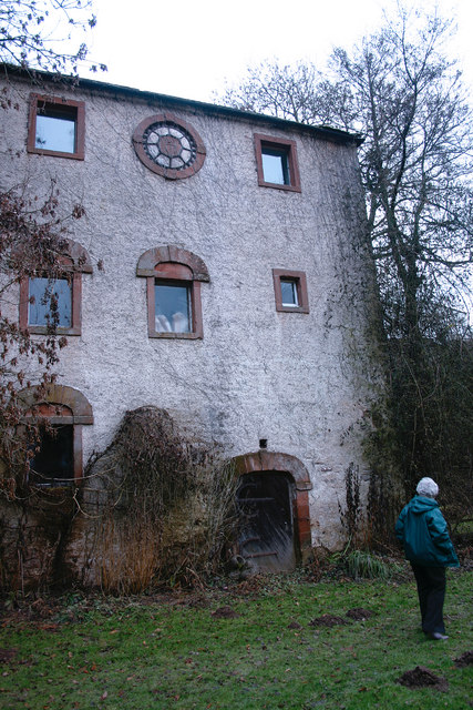
Image: © Jim Woodward-Nutt Taken: 2 Jan 2011
This watermill has been converted, but still retains some interesting external features.
Images are licensed for reuse under creativecommons.org/licenses/by-sa/2.0
Image Location
Latitude
54.572177
Longitude
-2.484275