The track to Spanham Farm
Introduction
The photograph on this page of The track to Spanham Farm by Andy Waddington as part of the Geograph project.
The Geograph project started in 2005 with the aim of publishing, organising and preserving representative images for every square kilometre of Great Britain, Ireland and the Isle of Man.

There are currently over 7.5m images from over 14,400 individuals and you can help contribute to the project by visiting https://www.geograph.org.uk
The track to Spanham Farm
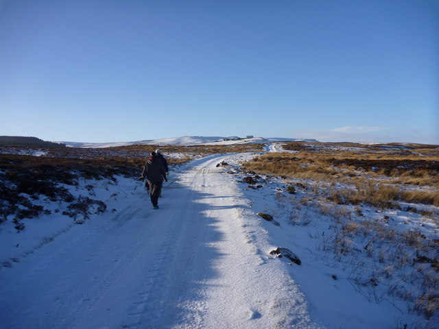
Image: © Andy Waddington Taken: 9 Jan 2011
Scargill Low Moor is criss-crossed by both bridleways and footpaths, though Spanham Farm's well-made track is only a footpath. The track leads not only to the farm itself (prominent on top of a spur running north from the main watershed between Arkengarthdale and the Greta), but onwards, not marked on the map, both to old mine workings at Spanham Hush, and to grouse moor on Citron Seat (where it is joined by an ill-defined bridleway from Gilmonby).
Images are licensed for reuse under creativecommons.org/licenses/by-sa/2.0
Image Location
Latitude
54.486328
Longitude
-1.961995