East Devon farmland
Introduction
The photograph on this page of East Devon farmland by Richard Knights as part of the Geograph project.
The Geograph project started in 2005 with the aim of publishing, organising and preserving representative images for every square kilometre of Great Britain, Ireland and the Isle of Man.

There are currently over 7.5m images from over 14,400 individuals and you can help contribute to the project by visiting https://www.geograph.org.uk
East Devon farmland
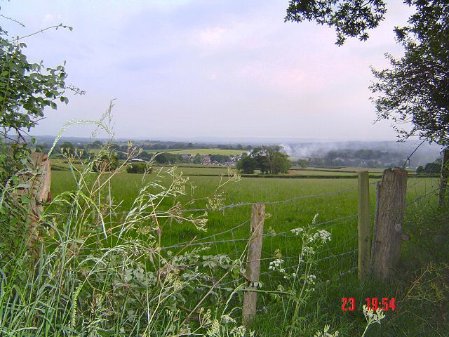
Image: © Richard Knights Taken: 23 Jun 2005
A typical summer's evening scene of English farmland. The south west view from Broad Road.
Images are licensed for reuse under creativecommons.org/licenses/by-sa/2.0
Image Location
Latitude
50.850755
Longitude
-3.301172