Council Housing - Wobaston Court
Introduction
The photograph on this page of Council Housing - Wobaston Court by John M as part of the Geograph project.
The Geograph project started in 2005 with the aim of publishing, organising and preserving representative images for every square kilometre of Great Britain, Ireland and the Isle of Man.

There are currently over 7.5m images from over 14,400 individuals and you can help contribute to the project by visiting https://www.geograph.org.uk
Council Housing - Wobaston Court
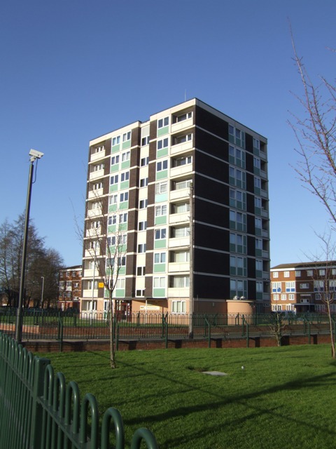
Image: © John M Taken: 9 Jan 2011
One of three 1964 towerblocks on the Chetton Green Estate.
Images are licensed for reuse under creativecommons.org/licenses/by-sa/2.0
Image Location
Latitude
52.625313
Longitude
-2.135424