Norwood Grove, Gibson's Hill (2)
Introduction
The photograph on this page of Norwood Grove, Gibson's Hill (2) by Stephen Richards as part of the Geograph project.
The Geograph project started in 2005 with the aim of publishing, organising and preserving representative images for every square kilometre of Great Britain, Ireland and the Isle of Man.

There are currently over 7.5m images from over 14,400 individuals and you can help contribute to the project by visiting https://www.geograph.org.uk
Norwood Grove, Gibson's Hill (2)
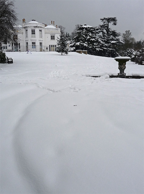
Image: © Stephen Richards Taken: 2 Dec 2010
Seen after an unusually early snowfall. See here for more information and no snow: Image
Images are licensed for reuse under creativecommons.org/licenses/by-sa/2.0
Image Location
Latitude
51.419322
Longitude
-0.114124