Lumb Village
Introduction
The photograph on this page of Lumb Village by K A as part of the Geograph project.
The Geograph project started in 2005 with the aim of publishing, organising and preserving representative images for every square kilometre of Great Britain, Ireland and the Isle of Man.

There are currently over 7.5m images from over 14,400 individuals and you can help contribute to the project by visiting https://www.geograph.org.uk
Lumb Village
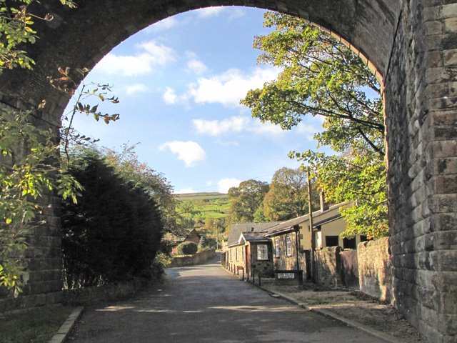
Image: © K A Taken: 24 Oct 2010
Lumb Village framed with an arch of the disused viaduct that was part of the line to Accrington that diverged from the East Lancashire line near Ramsbottom
Images are licensed for reuse under creativecommons.org/licenses/by-sa/2.0
Image Location
Latitude
53.67415
Longitude
-2.320721