Hightown, disused postbox
Introduction
The photograph on this page of Hightown, disused postbox by Mike Faherty as part of the Geograph project.
The Geograph project started in 2005 with the aim of publishing, organising and preserving representative images for every square kilometre of Great Britain, Ireland and the Isle of Man.

There are currently over 7.5m images from over 14,400 individuals and you can help contribute to the project by visiting https://www.geograph.org.uk
Hightown, disused postbox
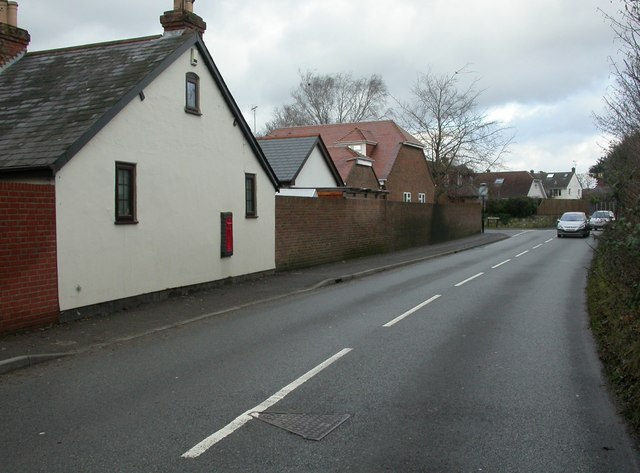
Image: © Mike Faherty Taken: 8 Jan 2011
Victorian wall postbox, on a former farmhouse in Hightown Road. There is a pillar box 100m further North.
Images are licensed for reuse under creativecommons.org/licenses/by-sa/2.0
Image Location
Latitude
50.843689
Longitude
-1.771903