Detail of 125 Acre Lane
Introduction
The photograph on this page of Detail of 125 Acre Lane by Stephen Richards as part of the Geograph project.
The Geograph project started in 2005 with the aim of publishing, organising and preserving representative images for every square kilometre of Great Britain, Ireland and the Isle of Man.

There are currently over 7.5m images from over 14,400 individuals and you can help contribute to the project by visiting https://www.geograph.org.uk
Detail of 125 Acre Lane
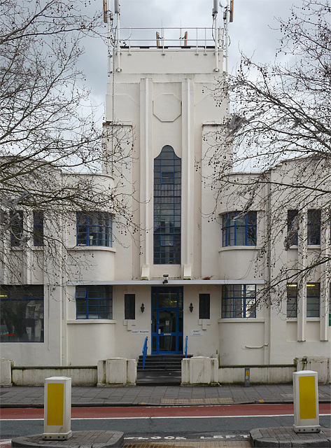
Image: © Stephen Richards Taken: Unknown
A close-up of the centrepiece of this 1930s factory. See here for a full view: Image
Images are licensed for reuse under creativecommons.org/licenses/by-sa/2.0
Image Location
Latitude
51.459548
Longitude
-0.12715