Juniper Hall
Introduction
The photograph on this page of Juniper Hall by Ian Capper as part of the Geograph project.
The Geograph project started in 2005 with the aim of publishing, organising and preserving representative images for every square kilometre of Great Britain, Ireland and the Isle of Man.

There are currently over 7.5m images from over 14,400 individuals and you can help contribute to the project by visiting https://www.geograph.org.uk
Juniper Hall
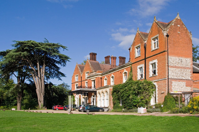
Image: © Ian Capper Taken: 30 Aug 2010
Built in the late 18th century on the site of a former pub, the Royal Oak, and much altered in the 1880s, this building is now a study centre run by the Field Studies Council. In the early 1790s it was home to a number of eminent émigrés from the French Revolution. It is grade II listed - for listing particulars see www.historicengland.org.uk/listing/the-list/list-entry/1228450.
Images are licensed for reuse under creativecommons.org/licenses/by-sa/2.0
Image Location
Latitude
51.261383
Longitude
-0.320841