Charman Road
Introduction
The photograph on this page of Charman Road by Ian Capper as part of the Geograph project.
The Geograph project started in 2005 with the aim of publishing, organising and preserving representative images for every square kilometre of Great Britain, Ireland and the Isle of Man.

There are currently over 7.5m images from over 14,400 individuals and you can help contribute to the project by visiting https://www.geograph.org.uk
Charman Road
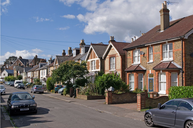
Image: © Ian Capper Taken: 12 Sep 2010
Part of the late Victorian development of the area between Linkfield Street and Hatchlands Road. The name is presumably derived from the name of Charles Charman Elgar, who owned much of the area in the mid 19th century.
Images are licensed for reuse under creativecommons.org/licenses/by-sa/2.0
Image Location
Latitude
51.238919
Longitude
-0.176624