Chapeltown
Introduction
The photograph on this page of Chapeltown by Trevor Littlewood as part of the Geograph project.
The Geograph project started in 2005 with the aim of publishing, organising and preserving representative images for every square kilometre of Great Britain, Ireland and the Isle of Man.

There are currently over 7.5m images from over 14,400 individuals and you can help contribute to the project by visiting https://www.geograph.org.uk
Chapeltown
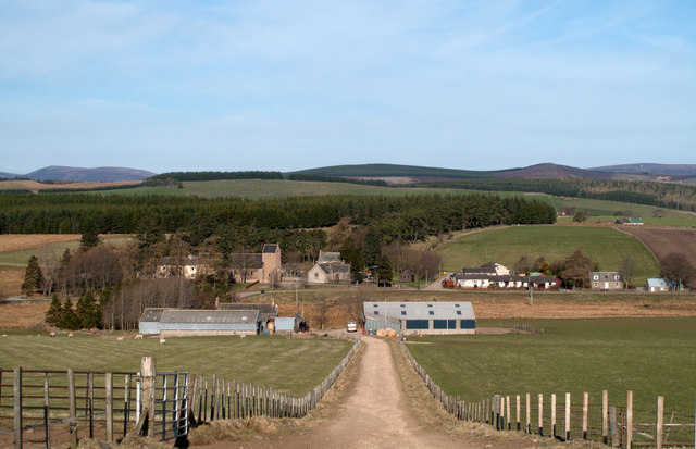
Image: © Trevor Littlewood Taken: 13 Apr 2009
The small settlement at Chapeltown seen from the farm road east-south-east of East Auchavaich; that farm is the first collection of buildings along the road.
Images are licensed for reuse under creativecommons.org/licenses/by-sa/2.0
Image Location
Latitude
57.272797
Longitude
-3.258307