Pfizer Research site from Richborough Castle
Introduction
The photograph on this page of Pfizer Research site from Richborough Castle by Nick Smith as part of the Geograph project.
The Geograph project started in 2005 with the aim of publishing, organising and preserving representative images for every square kilometre of Great Britain, Ireland and the Isle of Man.

There are currently over 7.5m images from over 14,400 individuals and you can help contribute to the project by visiting https://www.geograph.org.uk
Pfizer Research site from Richborough Castle
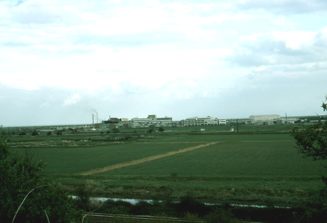
Image: © Nick Smith Taken: Unknown
Compare with Image to see the scale of development over the years. This shows the Pfizer research site before any development of the land to the west of the Sandwich to Ramsgate road. On the larger view it is possible to make out the Viking Garage which was to the west of the road until its demolition in the early or mid 1980's.
Images are licensed for reuse under creativecommons.org/licenses/by-sa/2.0
Image Location
Latitude
51.28859
Longitude
1.345533