Path to Hawthornhill
Introduction
The photograph on this page of Path to Hawthornhill by Lairich Rig as part of the Geograph project.
The Geograph project started in 2005 with the aim of publishing, organising and preserving representative images for every square kilometre of Great Britain, Ireland and the Isle of Man.

There are currently over 7.5m images from over 14,400 individuals and you can help contribute to the project by visiting https://www.geograph.org.uk
Path to Hawthornhill
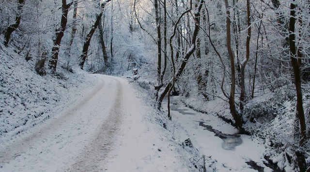
Image: © Lairich Rig Taken: 24 Dec 2010
This is the start of the path that is shown branching off to the left in Image The frozen Whiteleys Burn is on the right. For a view in the opposite direction, in a different season, see Image For the next part of the route, see Image
Images are licensed for reuse under creativecommons.org/licenses/by-sa/2.0
Image Location
Latitude
55.956693
Longitude
-4.589695