Footpath to Baileys Bank
Introduction
The photograph on this page of Footpath to Baileys Bank by Jonathan Kington as part of the Geograph project.
The Geograph project started in 2005 with the aim of publishing, organising and preserving representative images for every square kilometre of Great Britain, Ireland and the Isle of Man.

There are currently over 7.5m images from over 14,400 individuals and you can help contribute to the project by visiting https://www.geograph.org.uk
Footpath to Baileys Bank
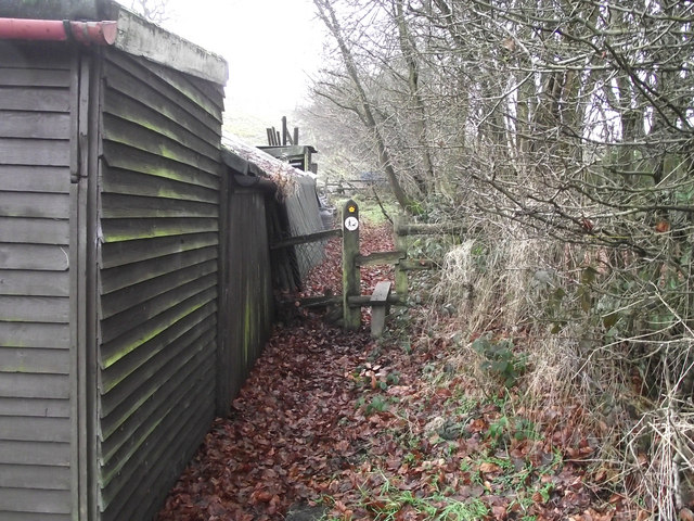
Image: © Jonathan Kington Taken: 29 Dec 2010
This is the start of the public footpath that runs from Lower Whitemoor Farm, keeping parallel to the former railway line now used as the Biddulph Valley Way and emerging at Baileys Bank (Image).
Images are licensed for reuse under creativecommons.org/licenses/by-sa/2.0
Image Location
Latitude
53.137075
Longitude
-2.171994