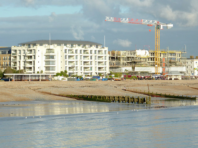
Redevelopment on Worthing's seafront, West Sussex
Introduction
The photograph on this page of Redevelopment on Worthing's seafront, West Sussex by Roger D Kidd as part of the Geograph project.
The Geograph project started in 2005 with the aim of publishing, organising and preserving representative images for every square kilometre of Great Britain, Ireland and the Isle of Man.
There are currently over 7.5m images from over 14,400 individuals and you can help contribute to the project by visiting https://www.geograph.org.uk

Image: © Roger D Kidd Taken: 2 Jan 2011
A telephoto image from the pier, looking towards the Marine Parade seafront. The development by the crane is between York Road and Warwick Road. Although the top of the beach profile in this direction does become more shingly further to the east, plenty of sand is available when the tide is not at its highest. The wooden groynes help prevent erosion and long-shore drift of beach material to the east.

