Beeston Canal, Beeston Rylands
Introduction
The photograph on this page of Beeston Canal, Beeston Rylands by Stephen McKay as part of the Geograph project.
The Geograph project started in 2005 with the aim of publishing, organising and preserving representative images for every square kilometre of Great Britain, Ireland and the Isle of Man.

There are currently over 7.5m images from over 14,400 individuals and you can help contribute to the project by visiting https://www.geograph.org.uk
Beeston Canal, Beeston Rylands
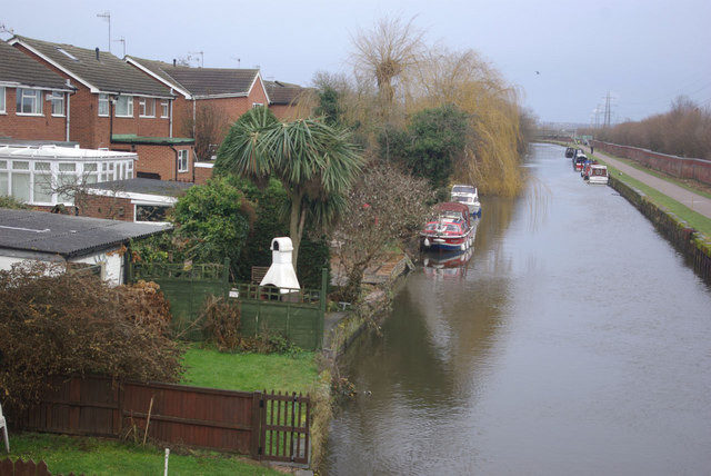
Image: © Stephen McKay Taken: 1 Jan 2011
The back gardens of houses on Cornwall Avenue run down to the Beeston Canal giving home owners the opportunity of private moorings. The Beeston Canal gives boats access to central Nottingham avoiding Beeston Weir on the River Trent.
Images are licensed for reuse under creativecommons.org/licenses/by-sa/2.0
Image Location
Latitude
52.916182
Longitude
-1.19629