Clearing
Introduction
The photograph on this page of Clearing by David Dixon as part of the Geograph project.
The Geograph project started in 2005 with the aim of publishing, organising and preserving representative images for every square kilometre of Great Britain, Ireland and the Isle of Man.

There are currently over 7.5m images from over 14,400 individuals and you can help contribute to the project by visiting https://www.geograph.org.uk
Clearing
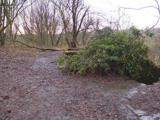
Image: © David Dixon Taken: 5 Jan 2011
When Image] reaches this clearing, the path splits. To the right the path descends the side of the hill towards Blackpits. Straight ahead, the path stays near the top of the hill before dropping to Naden Brook at Coal Bank. There are a few remains of a stone building behind, and below, the bush where the path splits.
Images are licensed for reuse under creativecommons.org/licenses/by-sa/2.0
Image Location
Latitude
53.62559
Longitude
-2.21486