Barmoor Lane, Ryton, view west
Introduction
The photograph on this page of Barmoor Lane, Ryton, view west by Andrew Curtis as part of the Geograph project.
The Geograph project started in 2005 with the aim of publishing, organising and preserving representative images for every square kilometre of Great Britain, Ireland and the Isle of Man.

There are currently over 7.5m images from over 14,400 individuals and you can help contribute to the project by visiting https://www.geograph.org.uk
Barmoor Lane, Ryton, view west
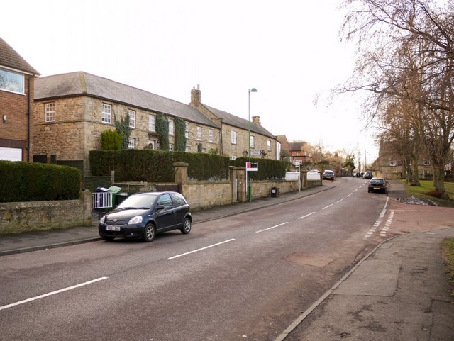
Image: © Andrew Curtis Taken: 3 Jan 2011
The Village Green is on the right, beyond the junction with Station Bank.
Images are licensed for reuse under creativecommons.org/licenses/by-sa/2.0
Image Location
Latitude
54.976411
Longitude
-1.763749