The former Deers Leap (3) - viewed from Bromsgrove Street
Introduction
The photograph on this page of The former Deers Leap (3) - viewed from Bromsgrove Street by P L Chadwick as part of the Geograph project.
The Geograph project started in 2005 with the aim of publishing, organising and preserving representative images for every square kilometre of Great Britain, Ireland and the Isle of Man.

There are currently over 7.5m images from over 14,400 individuals and you can help contribute to the project by visiting https://www.geograph.org.uk
The former Deers Leap (3) - viewed from Bromsgrove Street
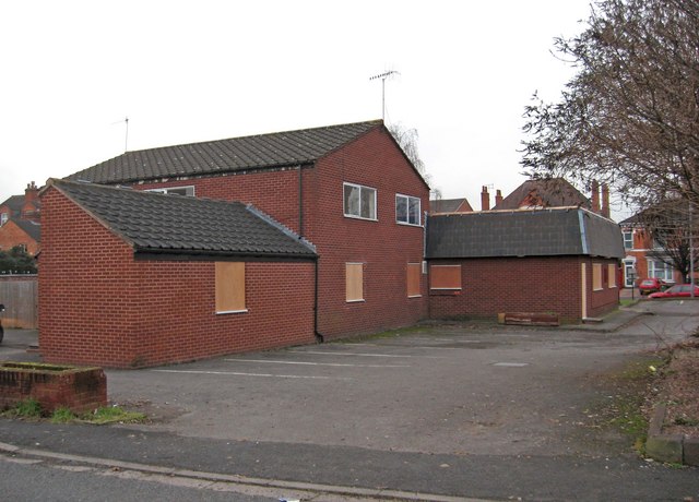
Image: © P L Chadwick Taken: 4 Jan 2011
The rear entrance to the now closed Deers Leap pub, was from Bromsgrove Street. This photograph, taken from there, shows the back and side of the building. Soon this will just be a memory, as the building will be demolished to make way for a new medical centre. Image Image
Images are licensed for reuse under creativecommons.org/licenses/by-sa/2.0
Image Location
Latitude
52.208847
Longitude
-2.224738