The Randolph public house, Reydon
Introduction
The photograph on this page of The Randolph public house, Reydon by Evelyn Simak as part of the Geograph project.
The Geograph project started in 2005 with the aim of publishing, organising and preserving representative images for every square kilometre of Great Britain, Ireland and the Isle of Man.

There are currently over 7.5m images from over 14,400 individuals and you can help contribute to the project by visiting https://www.geograph.org.uk
The Randolph public house, Reydon
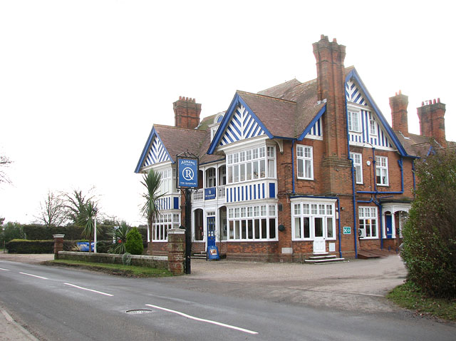
Image: © Evelyn Simak Taken: 4 Jan 2011
The Randolph was briefly renamed "The Cricketers" because of the adjacent locality of Southwold's former Eversley School cricket ground and playing fields. It reverted to its original name after a few years.
Images are licensed for reuse under creativecommons.org/licenses/by-sa/2.0
Image Location
Latitude
52.337799
Longitude
1.666802