Lower Lodge Cottage
Introduction
The photograph on this page of Lower Lodge Cottage by David Anstiss as part of the Geograph project.
The Geograph project started in 2005 with the aim of publishing, organising and preserving representative images for every square kilometre of Great Britain, Ireland and the Isle of Man.

There are currently over 7.5m images from over 14,400 individuals and you can help contribute to the project by visiting https://www.geograph.org.uk
Lower Lodge Cottage
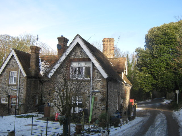
Image: © David Anstiss Taken: 26 Dec 2010
On the access road (also known as Church Road) from Northbourne Park School leading towards the road through Betteshanger. A Grade II Listed Estate Cottage on the Northbourne Park estate. See http://www.britishlistedbuildings.co.uk/en-428120-lower-lodge-northbourne for more details.
Images are licensed for reuse under creativecommons.org/licenses/by-sa/2.0
Image Location
Latitude
51.226727
Longitude
1.313105