Track to Woodlands Farm
Introduction
The photograph on this page of Track to Woodlands Farm by Derek Harper as part of the Geograph project.
The Geograph project started in 2005 with the aim of publishing, organising and preserving representative images for every square kilometre of Great Britain, Ireland and the Isle of Man.

There are currently over 7.5m images from over 14,400 individuals and you can help contribute to the project by visiting https://www.geograph.org.uk
Track to Woodlands Farm
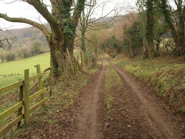
Image: © Derek Harper Taken: 31 Dec 2010
From the point where it is joined by footpath MCR/27/2. The track leads to the farm and the house seen in Image
Images are licensed for reuse under creativecommons.org/licenses/by-sa/2.0
Image Location
Latitude
51.805629
Longitude
-2.16123